Schneeberg - at 2076 meters this is the highest peak in lower Austria. It might not be as impressive as some of his bigger brothers in the western alps, but with just above 1 hour drive from Vienna it's a good opportunity for some mountain air for anyone living in the capital.
Mom and dad asked if Nikks and I would join them for a day trip to the mountain, and as we have Nepal trip coming up we thought this would be a good opportunity to check our level of fitness. The idea was to do the classic tour from Losenheim to the Summit over the Fadensteig and back down on an alternative route. This is a 5 to 7 hours hike over approximately 15 kilometers and just about 1200 meters altitude change. And so we did, and it's very much worth it. Not too hard, not too easy, great views and very enjoyable and safe outdoor fun.
Here you can find some maps and information for the tour, also here as a PDF download. We had some fun documenting the hike, so here is a video and a description below.
Part 1 - Losenheim to Edelweiß Hut
The first section is fully optional - there is a ski lift going from Losenheim to the Edelweiß hut that operates all year long. We indulged in this luxury on our way down (I have a bit of a bad knee on long downhill sections and I didn't bring my poles). This is a relatively easy hike through meadows and forest areas, moderately steep in places. Depending on your paste it will take you between 30 minutes and 1 hour to reach the hut where you can have a break, if you so desire - the Edelweiß hut provides beverages and a modest offer of food and deserts.
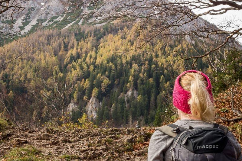
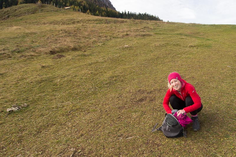
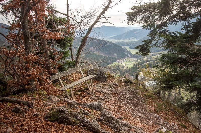
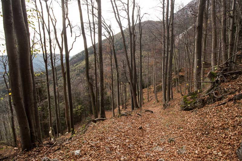
Part 2 - Steep boulders and gravel
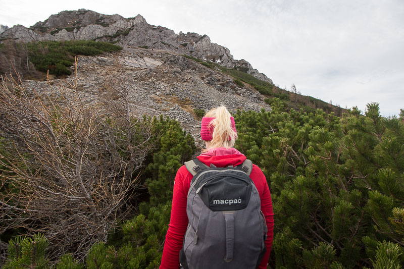
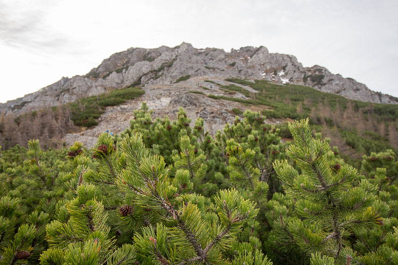
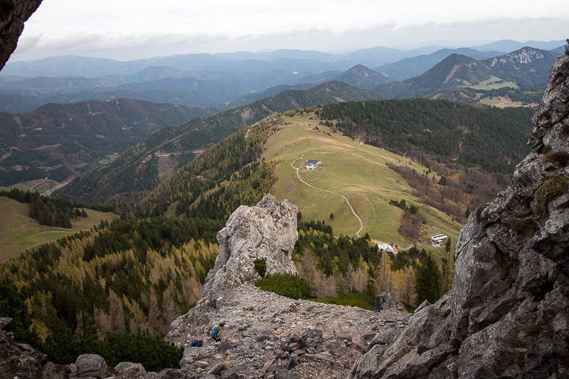
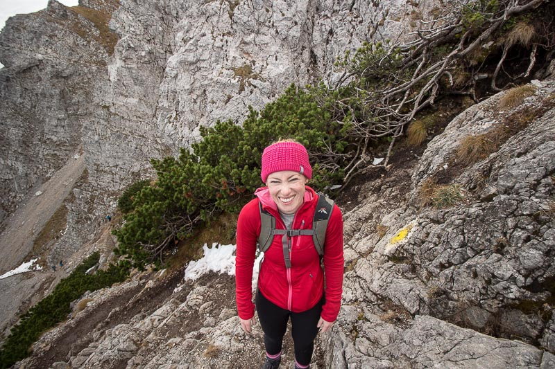
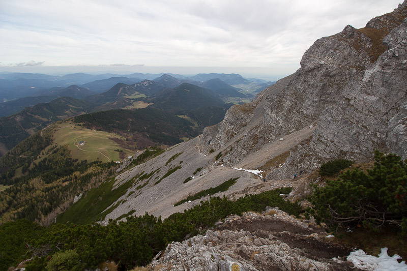
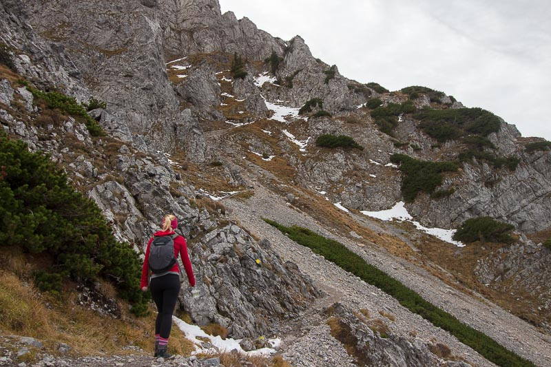
This is the steepest and technically most challenging section. Having said that, you don't need any skills or experience to do this, although some decent shoes will probably make the climb easier. The footing is partially on steep gravel, with possibly some wet, snowy patches in between, depending on the season. You will also have to go through some bouldery parts which may require the use of handholds. There are two traverse sections that can feel a bit dodgy and exposed, especially if there is snow, however those are secured with a handrail.
Part 3 - The summit plateau
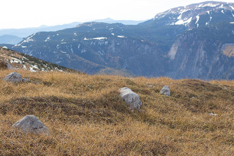
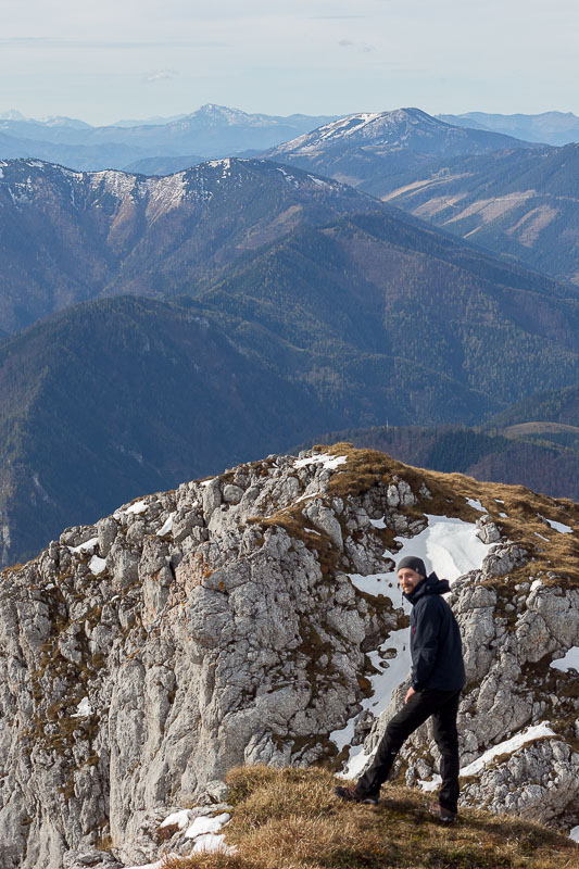
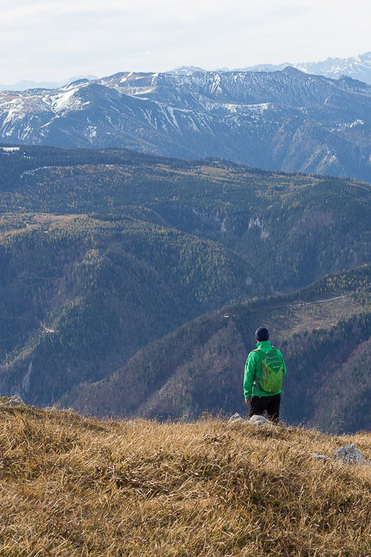
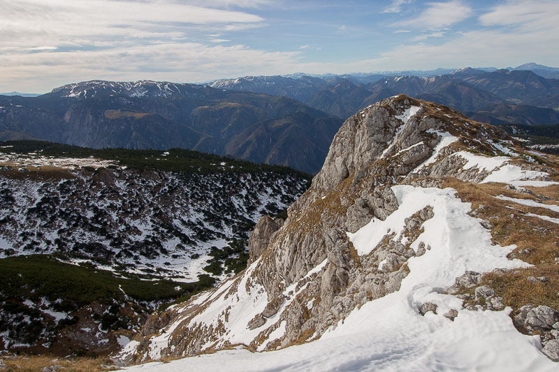
This part is significantly less steep than the previous section, yet more exposed and deceptivly long. The route follows a plateau at the top of the mountain, and as you are way above tree level the winds can be quite strong here. You can feel it instantly and we had to put on our hard shell jackets within minutes. Being up here during bad weather might not be a good idea, especially if not prepared accordingly. This is by far the part with the best views - it's a very enjoyable finish to the climb, especially on a nice day. Once you reach the summit you can enjoy a 360 degree view of the surrounding valleys and mountain ranges. There is even a hut up here that I think serves food and beverages, although it was closed when we were up.
